A ‘Work in Progress’
An initial outline was produced using UK OS maps.
In order to create an interactive map a base map was created using Google Maps and to which points of relevance and interest were added.
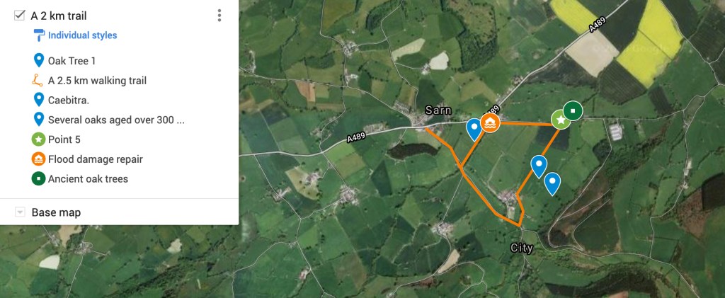
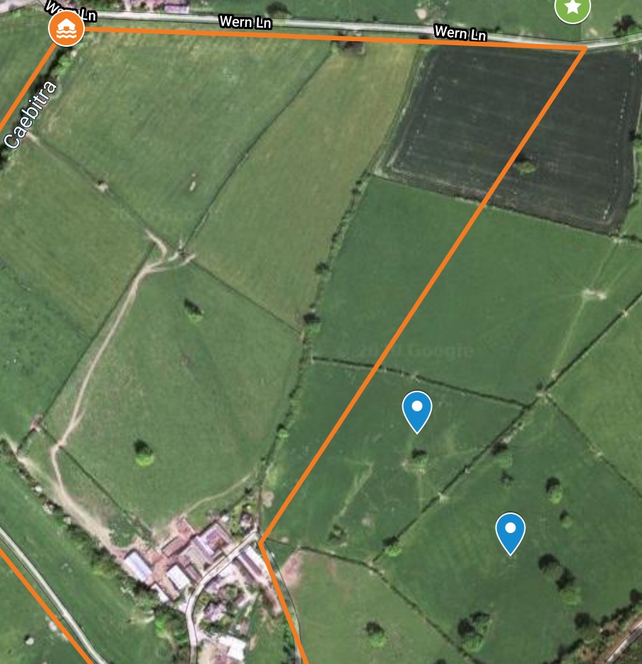
The Google Interactive Map allows a viewer to created detailed ‘close-ups’ of the routes:
For example – points of interest almost impossible to see from ground level
There is nothing ‘untouched’ or ‘natural’ about this landscape. It has been carefully managed for at least a thousand years

Sarn Oaks trail – developing the site
https://www.google.com/maps/d/u/0/embed?mid=1v6T5gIT29LPpSDEvoiyEtXHgz4hdnS9Z
