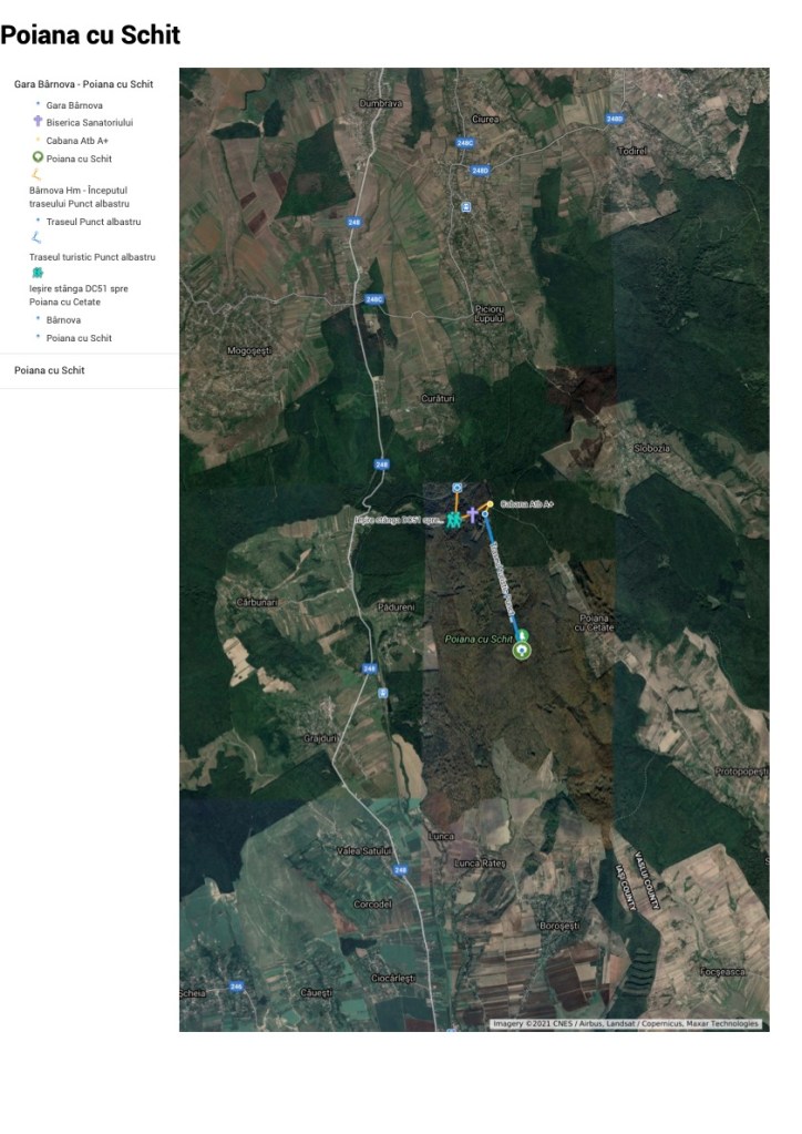
Each partner developed a publicly available route that provided opportunities for ‘encounters’ with the natural environment (O1)
Original plans were disrupted, in varying degrees, by the ‘Covidian Intrusion’ which had greater impact on some partners than others. Within individual partners other unexpected/unplanned impacts occurred (long term illness, changing personal circumstances, staff changes, babies!). Most caused delay & all required considerable adjustments to planned actions.
Some (recorded in detail in the partnership pages) originally planned routes & activities were abandoned.
The following series of publicly usable maps illustrates the final choice(s)
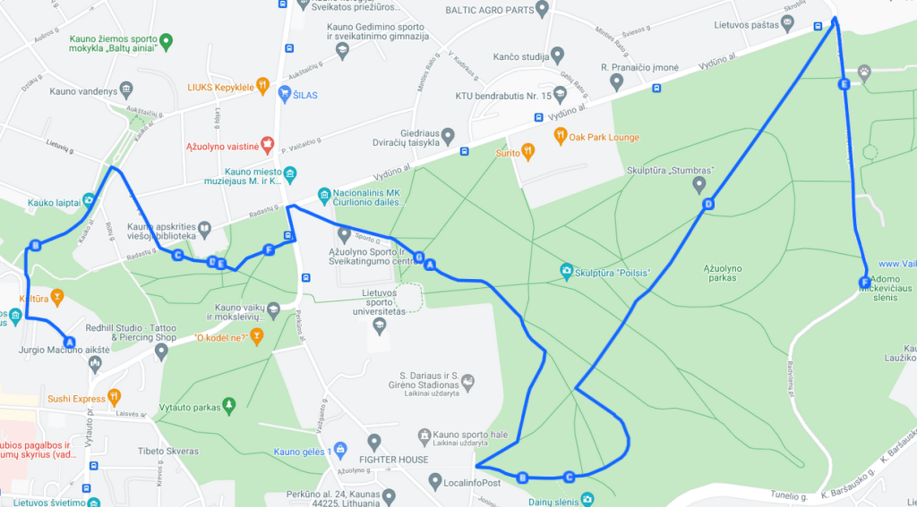
KAVB: LITHUANIA
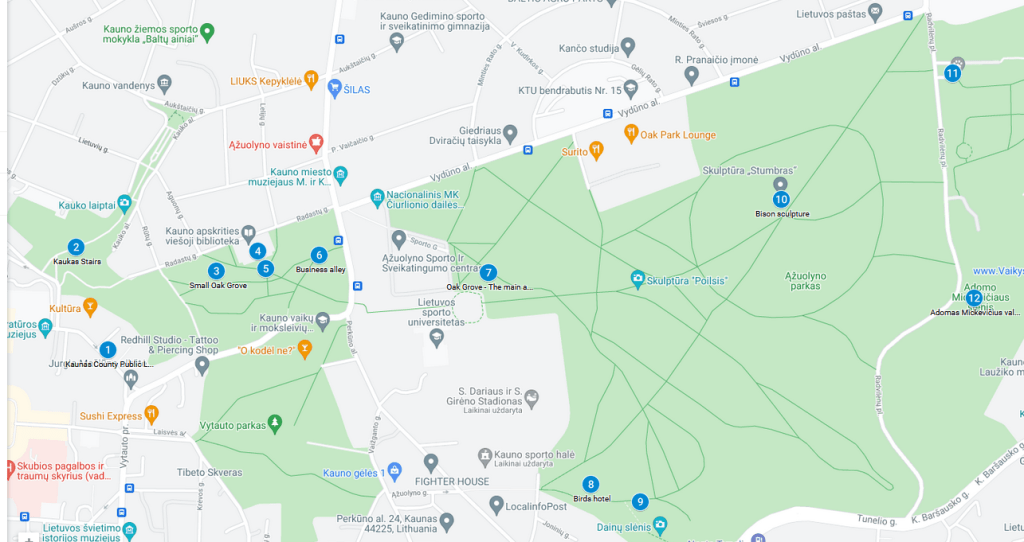
A process:
Above, a series of points of interest and relevance
Below: The trail along which groups or individuals can follow using information leaflets
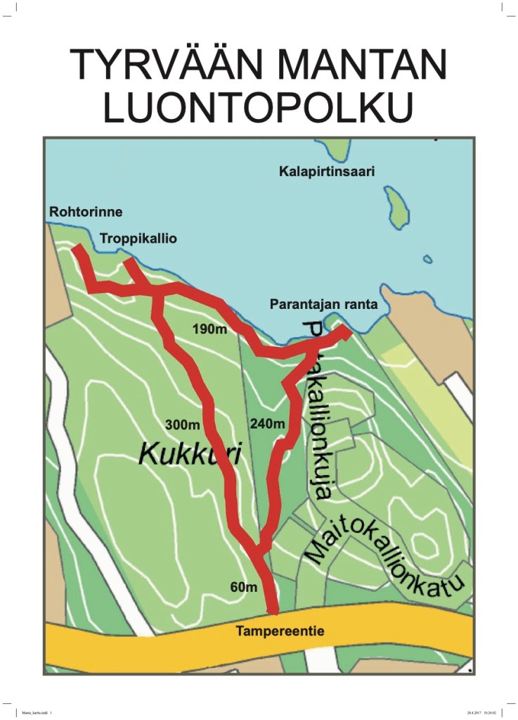
Sastamala Opisto: Finland
The area being used for the project had a series of existing publicly available maps to which, where necessary, were added details


Pathways ID UK
The focus was on a specific trail that revealed both natural landscape development & human impact over many centuries. The Green Way used existing publicly available mapping with specific routes added.


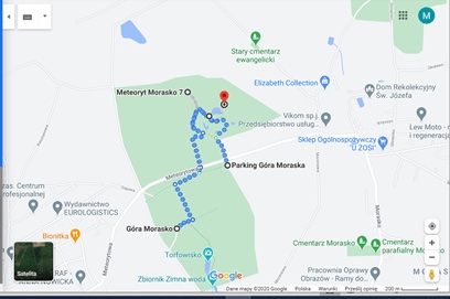
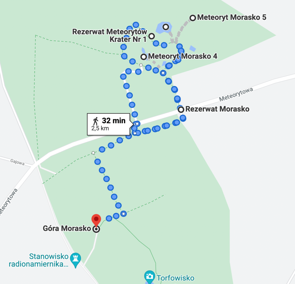
Fundacja Parasol, Poland
The focus was on an area to the north of the city of Poznań where a significant meteorite shower created a unique natural landscape.
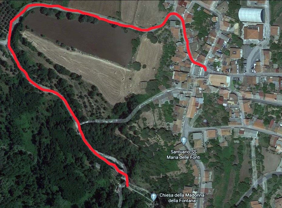
ICRE: ITALY

ASIE România