A Community Progress
Creating a Walking Route
linking
Community & Environment
along the Welsh Border
BACKGROUND:
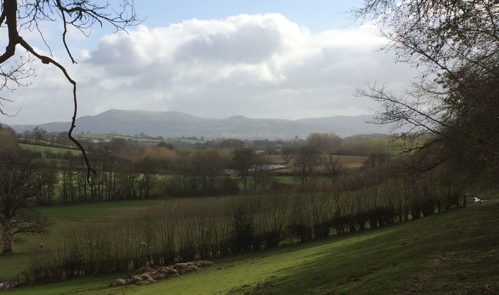
Along and enveloped within the hill ranges on the middle section of the Welsh- English Border there are many small settlements. Many have existed ‘time-out-of-mind’ since the 7th/8th & 9th Centuries. Sometimes were primarily Welsh, some were primarily Saxon but almost all were, in mediaeval times, a mix of both – linguistically and culturally.
In the C19th many of these settlements were given formal parochial status by the Anglican Church & small chapels, originally within larger parishes, became formal centres of communities as ‘Parish Churches’.
They became symbols for the places in which they were built, even where the local population has declined or remains scattered along a valley or over a range of hills. Most, like the settlements they still serve, are comparatively remote.
After a series of discussions stretching from November 2019 to February 2020 an outline of the area was agreed and a route plan created.
The boundary chosen was that used by the Anglican Church called “The Clun Forest Deanery” part of the Diocese of Hereford.
Within this area there are 26 separate Parish Churches 4 of which are in Wales.
The Initial Process
Outline Maps:
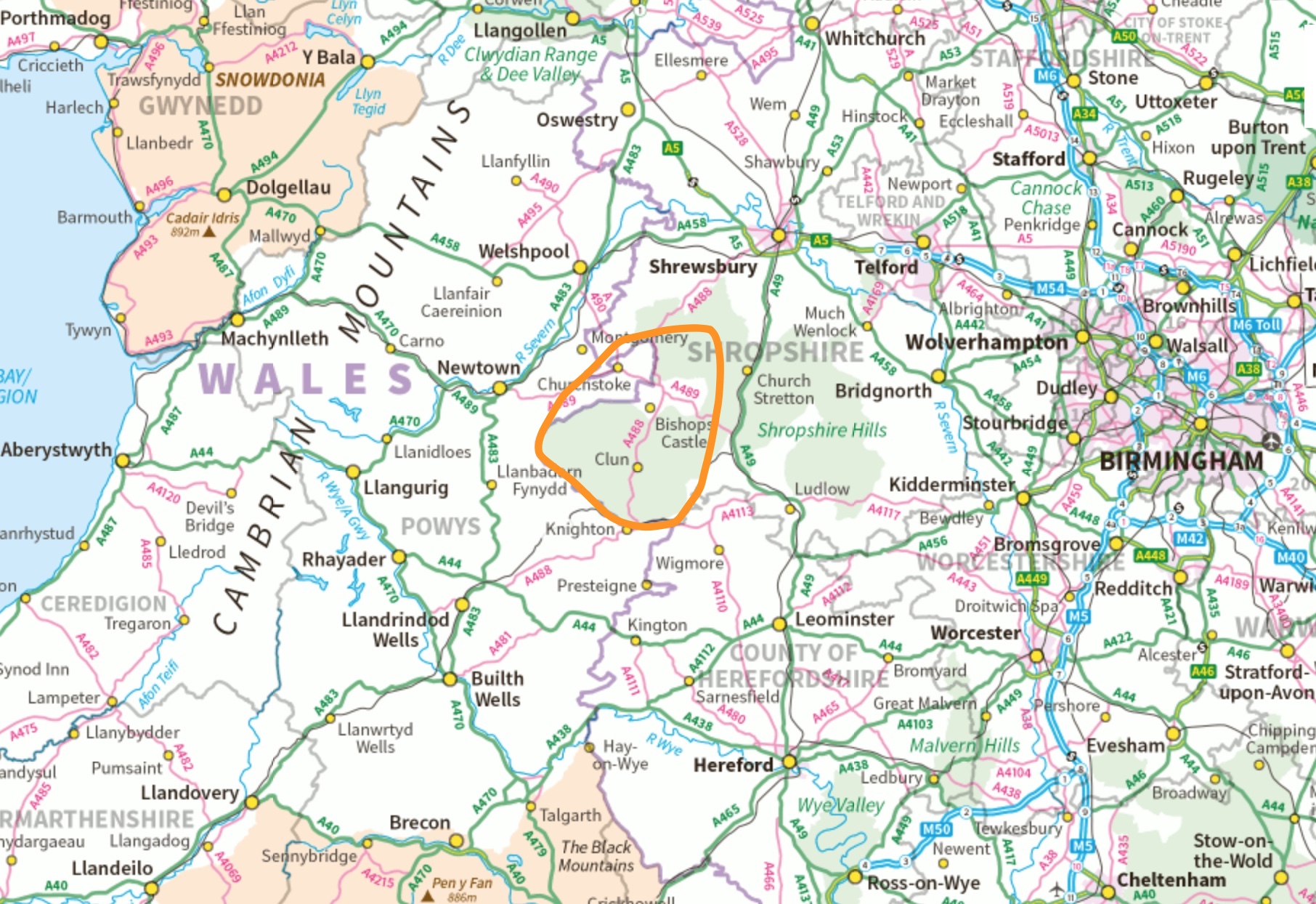
First: A map of the Mid Wales/West Midlands area with the proposed area in which action will occur marked in orange. The area chosen is also largely a part of the Shropshire Hills AONB (Area of Outstanding Natural Beauty)
Second: Produced & distributed to interest groups and individuals in early December 2019. This example is an extract distributed to local Parish church groups
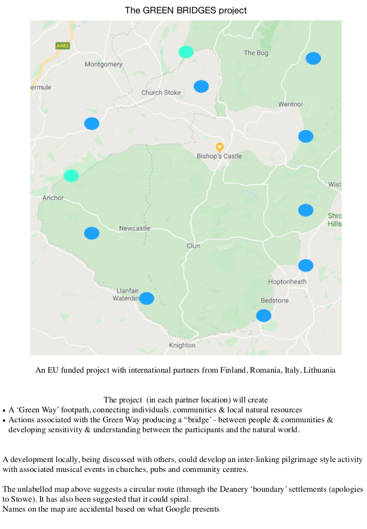
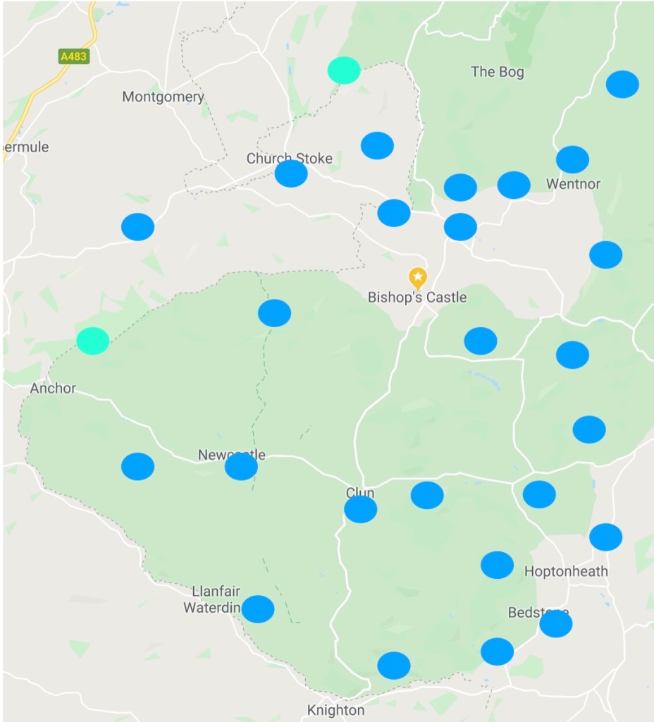
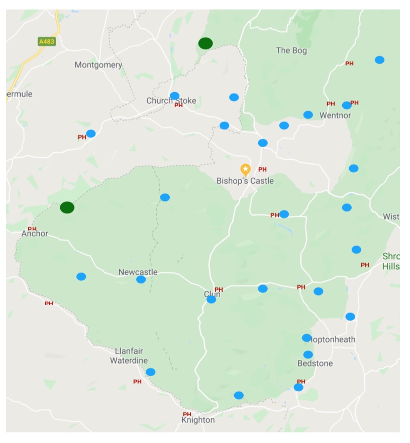
Other examples:
The 26 Parishes marked
… communities with one or more pubs
The outline plan developed various forms.
Using National Ordnance Survey 1:50,000 scale mapping (showing public ‘rights of way’) a basic route was produced demonstrating that it was possible to link all Parish Churches on a single continual route, starting at the Prehistoric stone circle “Mitchell’s Fold” and finishing at Bishop’s Castle (or unfolding from Bishop’s Castle)

This initial shape then became expressed in labyrinthine form:

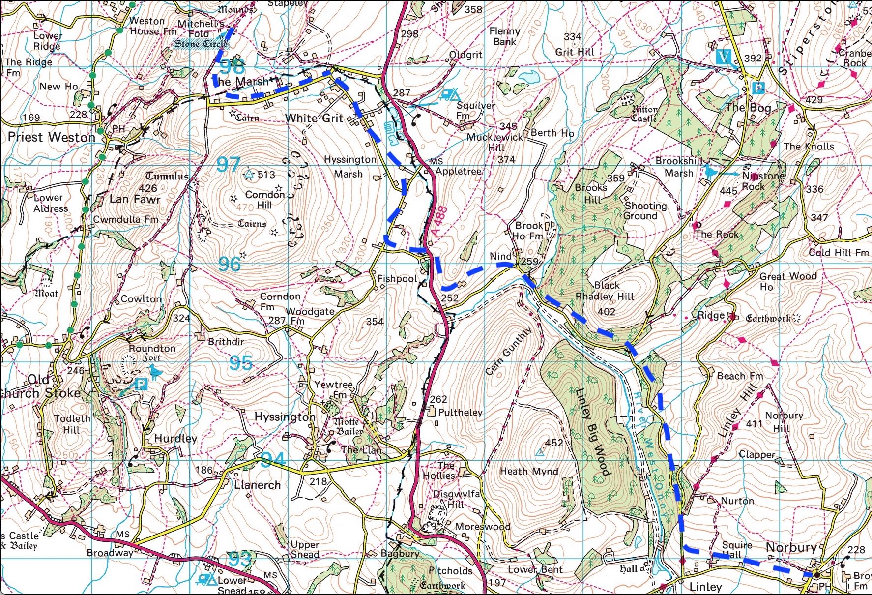
The route has been mapped in outline on OS 1:25K extracts
An example: From the start (or finish depending on direction taken) at Mitchell’s Fold Circle to Norbury (c.10 kms)
As the formal planning is being developed others are absorbing the whole concept and working through ideas that may in time manifest as creative actions for participants as well as independently produced ‘art-work’.
A working lunch to consider the variety of creative actions possible:

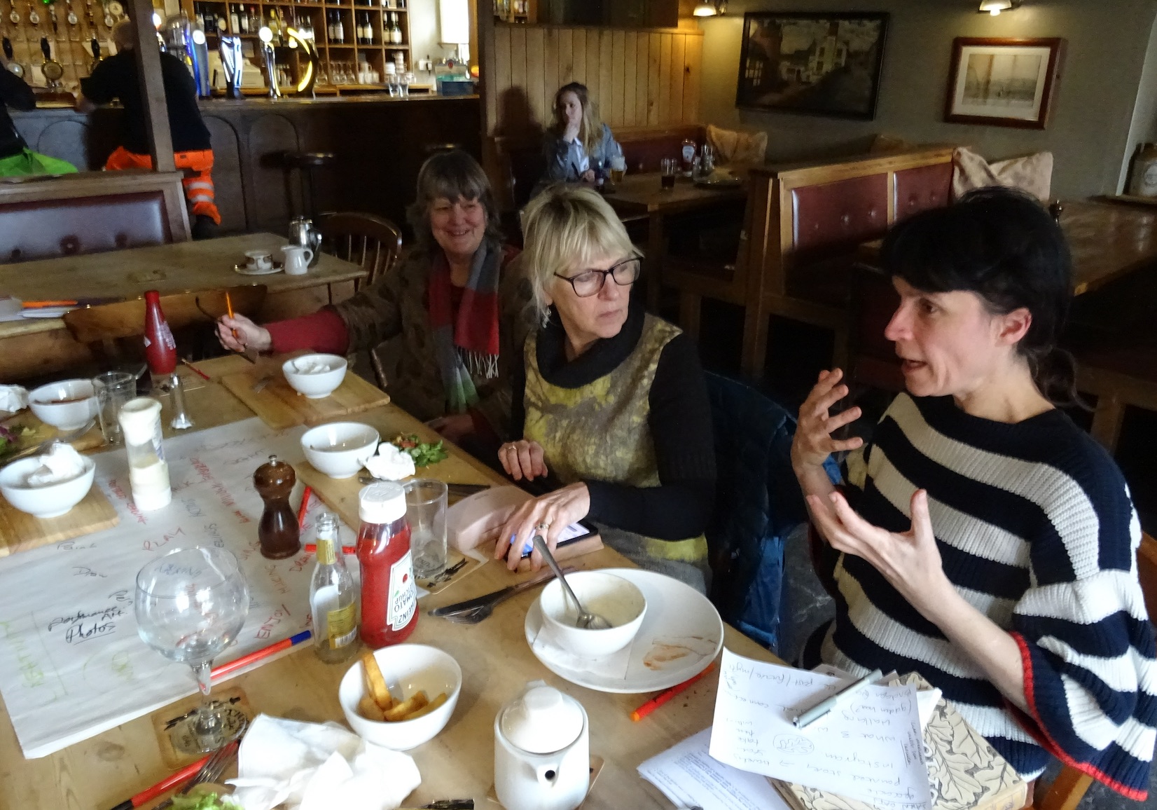
and view some of the ‘pictorial thinking’ that has already been produced: